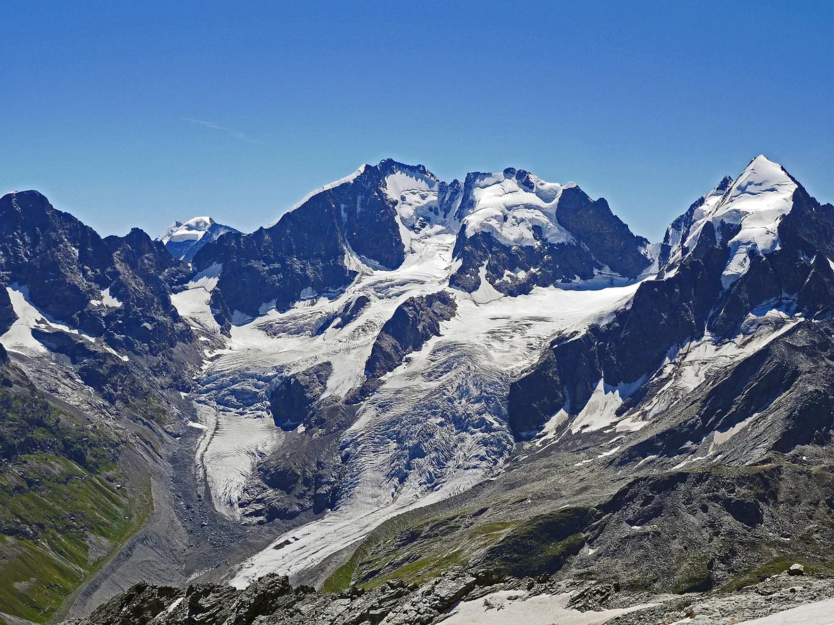
Our eight names
- Peaks
- Piz Palü, Piz Bernina, Piz Nair, Piz Grisch
- Valleys and glaciers
- Val Roseg, Val Morteratsch
- Viewpoints
- Diavolezza, Muottas Muragl
- Highest
- Piz Bernina, 4048 m
- Closest
- Muottas Muragl, 10 min by train from Bever
Eight apartments, eight names
When you stay at Chesa Michel, you sleep in Palü, Bernina, Roseg, Diavolezza, Nair, Morteratsch, Muragl or Grisch. These are not made-up names: each belongs to a mountain, a valley or a viewpoint you can reach from Bever. This article tells you what lies behind the names – and how to get there.
| Apartment | Named after | Height | Meaning |
|---|---|---|---|
| Palü | Piz Palü, glaciated mountain with three summits | 3899 m | from Latin “palus”, marsh |
| Bernina | Piz Bernina, highest mountain in Graubünden | 4048 m | name transferred from the Bernina Pass |
| Roseg | Val Roseg and Piz Roseg | 3935 m | old theory: “rose” for glacier |
| Diavolezza | Viewpoint mountain near Pontresina | 2978 m (railway) | Romansh for “she-devil” |
| Nair | Piz Nair, St. Moritz’s local mountain | 3057 m | Romansh for “black” |
| Morteratsch | Val Morteratsch and Morteratsch Glacier | – | legend: “Mort Aratsch” |
| Muragl | Muottas Muragl | 2456 m (railway) | “muotta” = hill |
| Grisch | Piz Grisch, neighbour of Piz Nair | 3098 m | Romansh for “grey” |
Bernina: the only four-thousander in the Eastern Alps
At 4048 m, Piz Bernina is the highest mountain in Graubünden and the only four-thousander in the Eastern Alps; older maps still give 4049 m. It was first climbed by the forester and surveyor Johann Coaz on 13 September 1850, together with Jon and Lorenz Ragut Tscharner, via the Morteratsch Glacier. It was also Coaz who transferred the name from the Bernina Pass to the summit. The Biancograt is famous – the snow-white ridge from the north, first climbed in 1878. The watershed between the Black Sea and the Mediterranean runs across the summit.
Experience it: You get the best views from Muottas Muragl, from Fuorcla Surlej and from Diavolezza.
Palü and Diavolezza: marsh and she-devil
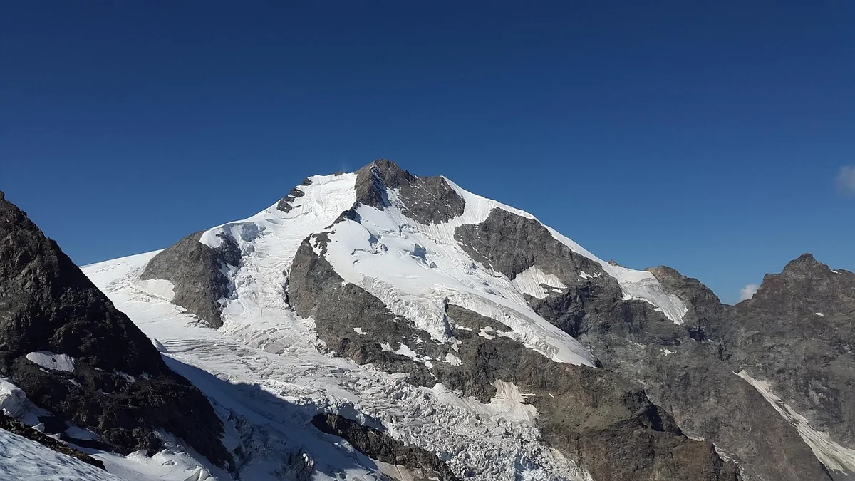
Piz Palü is a glaciated mountain with three summits on the border with Italy, 3899 m high. Its name is surprisingly down to earth: it comes from the Latin palus, marsh, and passed to the mountain from Alp Palü, which lay on marshy ground. The main summit was, as far as records show, only climbed in 1866. It made film history in 1929 with the silent film “Die weisse Hölle vom Piz Palü”.
The classic view of Palü is from Diavolezza – Romansh for “she-devil”. Legend tells of a mountain fairy on Munt Pers who lured hunters into the mountains. Today a cable car takes you from Bernina Diavolezza station (around 45 minutes from Bever, changing in Pontresina) up to 2978 m. From the top station you reach Munt Pers in about an hour.
Roseg: a valley without cars
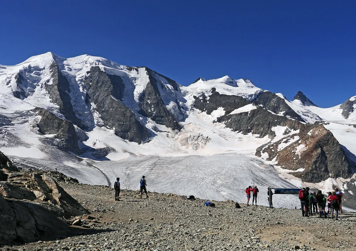
Val Roseg opens up right next to Pontresina station and is around 12 km long. Cars are not allowed; Pontresina and Samedan have declared the whole valley a quiet zone. It is 7 km to the Hotel Roseg Gletscher at around 2000 m – just under two hours on foot, by bike or by horse-drawn omnibus (in summer, around 70 minutes; current times and prices: Hotel Roseg Gletscher). Above the head of the valley towers Piz Roseg (3935 m, first climbed in 1865).
Where the name comes from is uncertain. In 1906 the linguist Carl Täuber put forward the theory that “rose” originally simply meant glacier – as with Monte Rosa. In that case the valley would have nothing to do with roses.
Important: On 14 April 2024 a large rockfall from Piz Scerscen came down over the Tschierva Glacier. The municipality of Samedan then closed the valley-floor path to the glacier lake Lej da Vadret and warned of sudden flooding of the Ova da Roseg. Before any hike beyond the hotel, check the current situation with the municipality or Pontresina Tourism.
Huts in Val Roseg:
- Chamanna Coaz (2610 m) above the Roseg Glacier, named after the first man to climb Bernina; staffed in summer, usually from late June to early October. The finest approach leads across from the Corvatsch middle station Murtèl in around two and a half hours.
- Chamanna da Tschierva (2583 m), starting point for the Biancograt; around 3¾ hours and 870 metres of ascent from Pontresina, considerably shorter if you take the carriage to the Hotel Roseg.
Our tip: Take the Corvatsch cable car to Murtèl (2702 m), walk 40 minutes to Fuorcla Surlej with its open view of Piz Bernina and Piz Roseg, then descend into Val Roseg and on to Pontresina – around 3¾ hours. From Pontresina you are back in Bever in a quarter of an hour.
Morteratsch: the glacier that is leaving
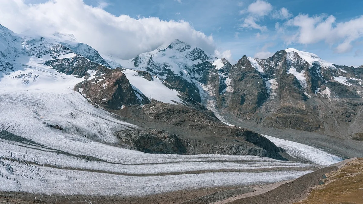
Val Morteratsch begins at the Bernina line station of the same name, one stop after Pontresina (around 35 minutes from Bever). When measurements began in 1878, the Morteratsch Glacier was around 8.6 km long; since then it has retreated by around three kilometres. From the station it is a good hour’s walk to today’s glacier snout, past signs showing where the ice once stood.
The name is said to go back to the legend of Aratsch – “Mort Aratsch”, dead Aratsch. There is no linguistically confirmed explanation. There is, however, a project for the future: under the name MortAlive, a company from Samedan carried out initial tests in 2021 and 2022 to cover the glacier with artificial snow made from meltwater in order to protect it.
Chamanna da Boval (2495 m): around two hours from Morteratsch station along the lateral moraine, 630 metres of ascent, with views of Bernina and Palü. One of the finest hut hikes in the region.
Nair and Grisch: black and grey above St. Moritz
Piz Nair (3057 m) is St. Moritz’s local mountain and is simply called “black mountain” – Graubünden has no fewer than ten peaks of this name. Since 2002 a cable car has run up from Corviglia. At the top, a bronze ibex, the “Guardiaun Grischun”, has kept watch since 1958. In clear weather the view reaches as far as the Matterhorn, around 174 km away.
Directly to the north, only just over a kilometre away, stands its grey neighbour: Piz Grisch (3098 m) in the municipality of Samedan – “grey mountain”. There are two more Piz Grisch in Graubünden; ours is the one above the Upper Engadine.
Experience it: Take the railway from Celerina–Marguns or St. Moritz Bad up to Corviglia and Piz Nair. If you are a strong walker, you can hike from Marguns back to Bever on the Via Engiadina in around three hours – right to our door.
Muragl: the balcony above the valley
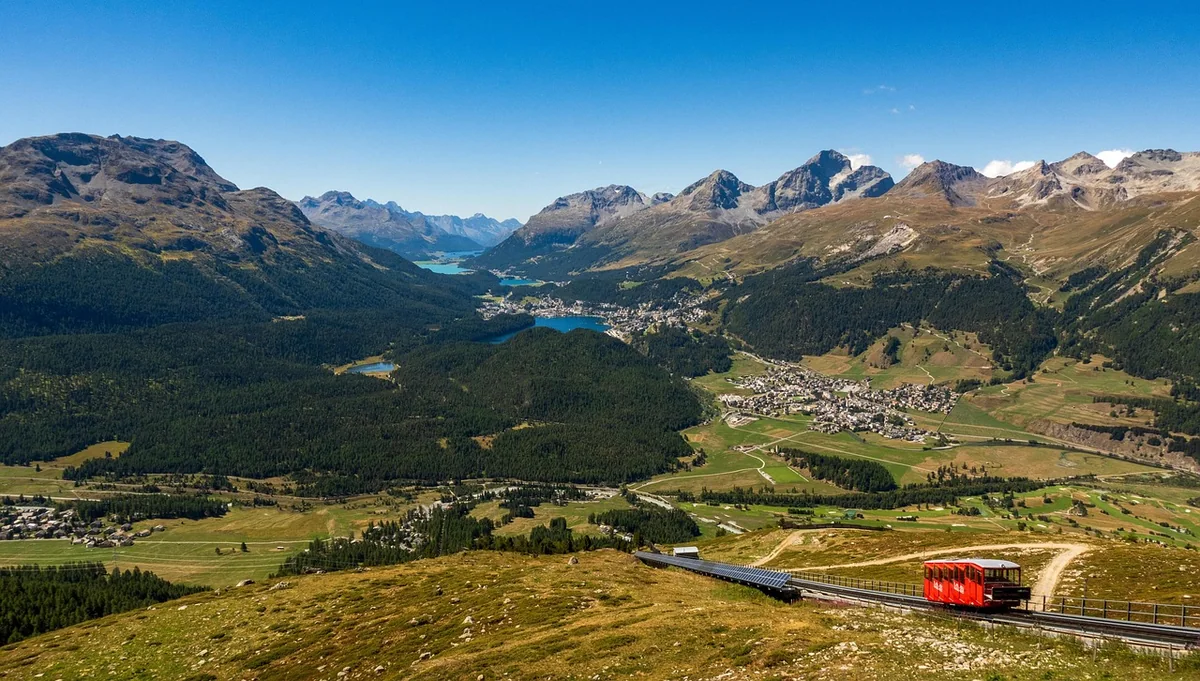
Muottas Muragl is the viewpoint mountain between Bever and Pontresina. In Romansh, muotta means hill. The red funicular has run up from Punt Muragl since 1907 – from Bever it is only 10 minutes by train to the valley station. At the top you will find the Philosophers’ Path, the trail to the Segantini Hut and a view over all the lakes of the Upper Engadine. On clear days you can see many of the mountains our apartments are named after at a single glance. More in the article The best summer mountain railways from Bever.
Staying with a view of the names
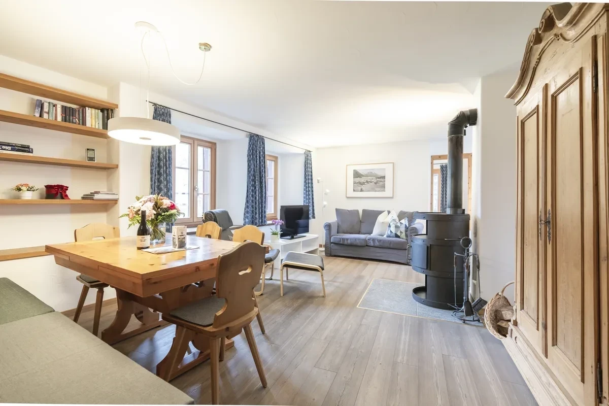
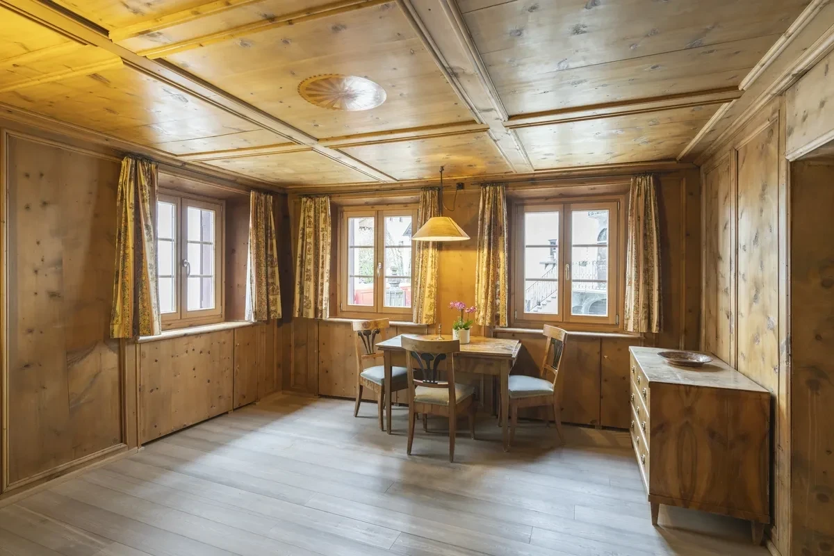
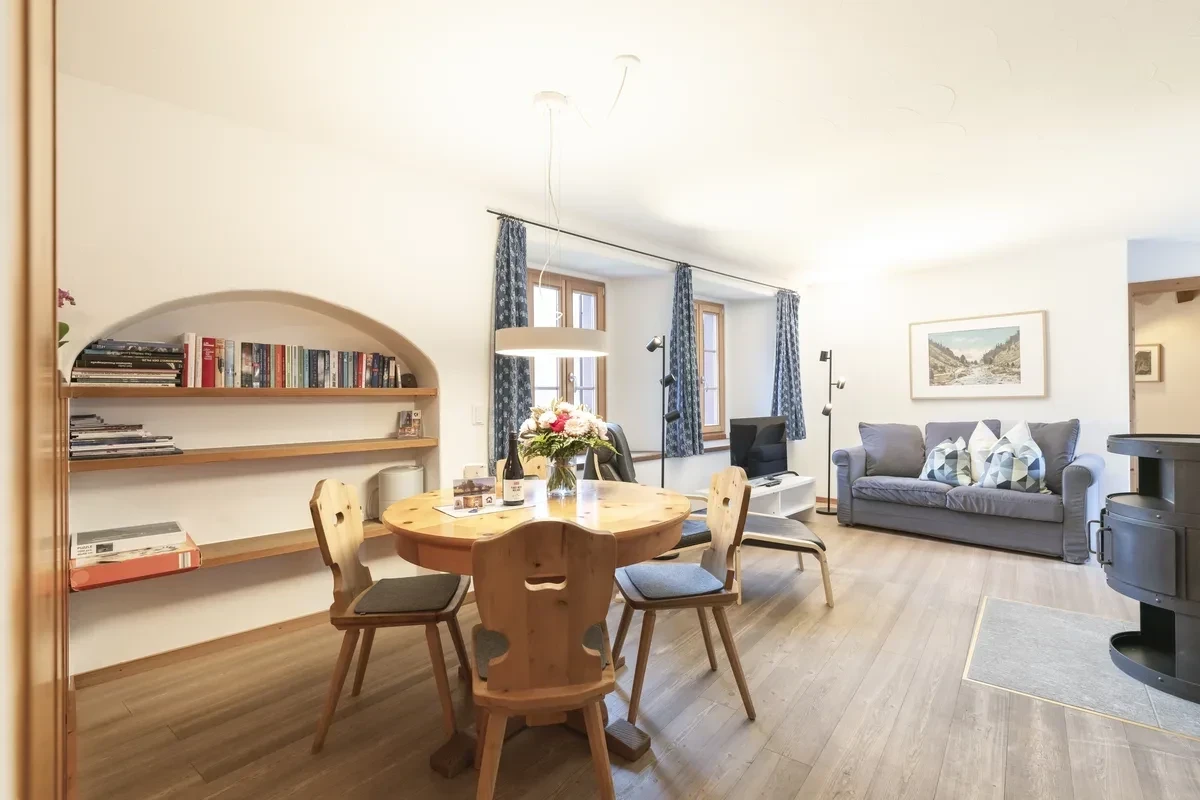
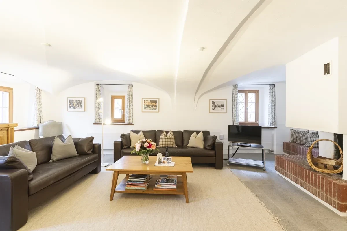
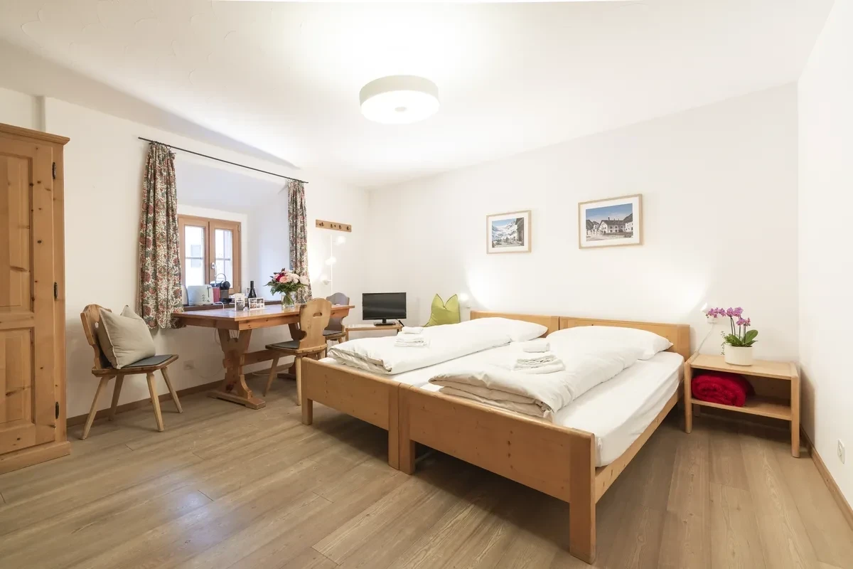
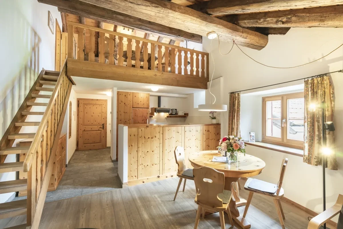
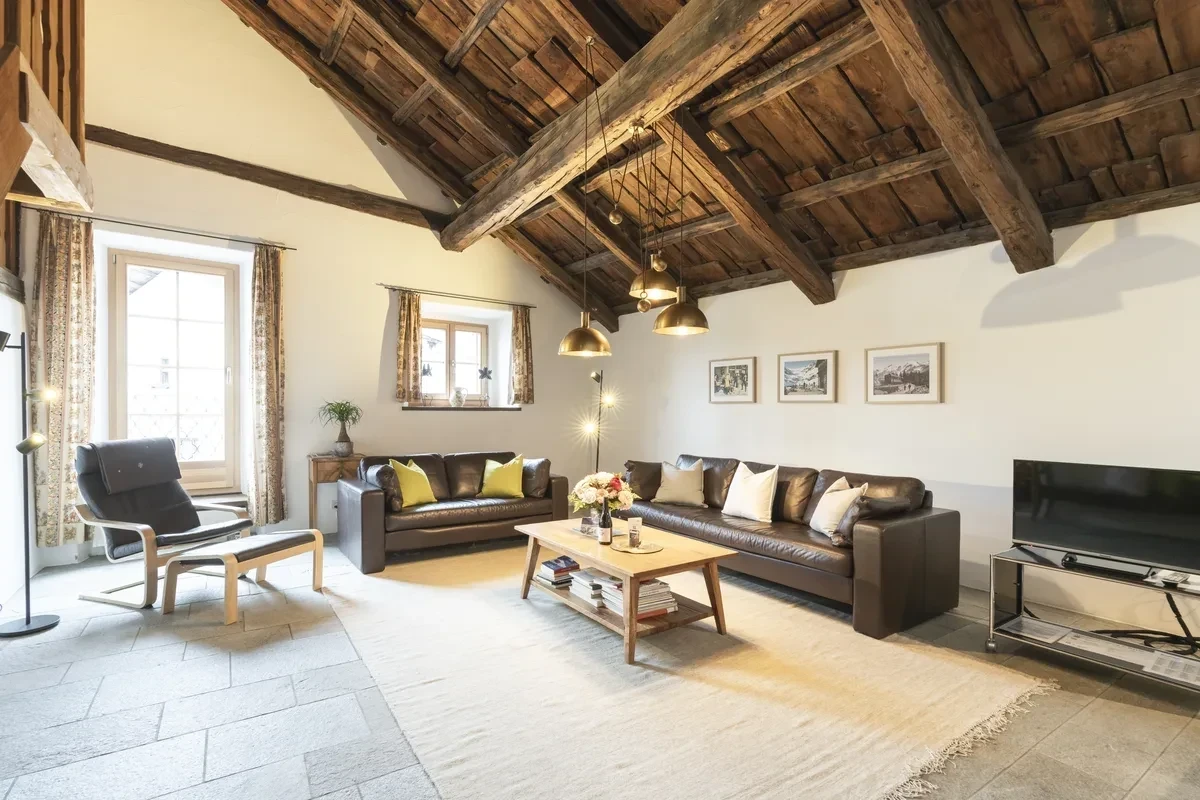
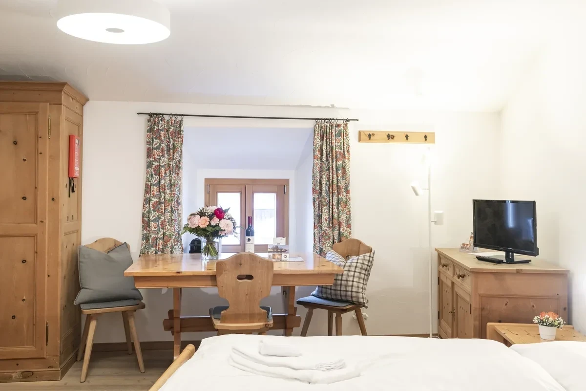
The apartments themselves are as varied as their namesakes: from the studio for two (Nair, Grisch) to the attic maisonette for six (Muragl). Two pairs can be combined via a shared entrance door – Roseg with Nair and Morteratsch with Grisch. Read more about the area around Pontresina in the article Pontresina: the best tips for summer and winter.
More inspiration in the Journal – or view the holiday apartments and check availability.