Inn floodplains Bever
- Restored
- 2012–2013 and 2017–2020, just over 2 km
- River width
- previously 15 m, now around 90 m on average
- Rarest visitor
- Common sandpiper: from 1–2 to 10 breeding pairs
- Circular walk
- Gravatscha–Inn floodplains, 3 km, 45 min
- Breeding season
- Mid-April to end of July: stay on the paths
A river that is free to wander again
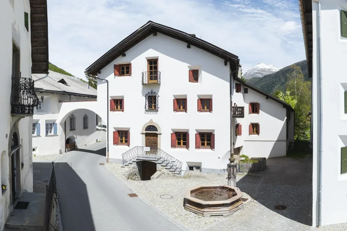
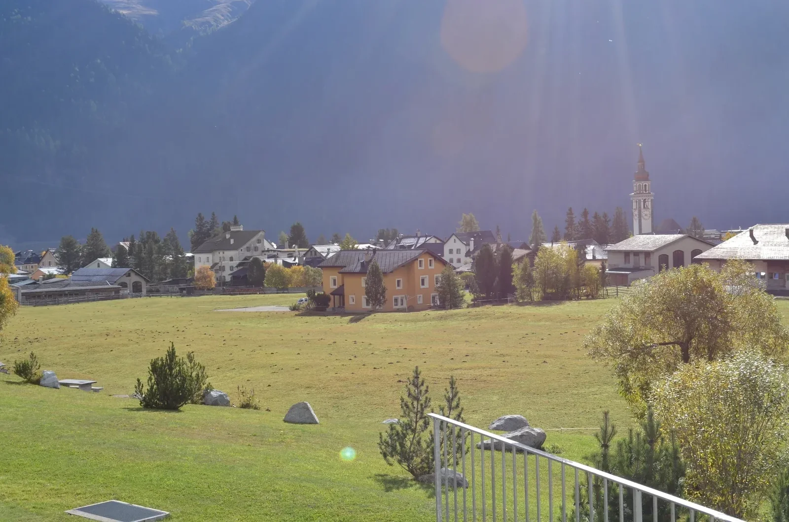
If you stroll from Chesa Michel towards the valley floor, you soon reach a river that looks different from most rivers in Switzerland: wide, with gravel banks, side channels and islands that lie somewhere else after every flood. The Inn between Bever and La Punt is one of the country’s major river restorations. The municipality calls Bever the “Gateway to the World of Floodplains”.
A hundred years of dams
Around 1850 Bever decided to channel the Inn – to protect the pastures and meadows at Sur Ent and Isellas as well as the bridge. Small earth embankments for drainage from that time can still be seen today between the Isellas bridge and Lej Gravatscha. But that did not tame the river: the chronicle records floods and dam breaches in 1885 and 1888, 1900, 1920, 1926, 1927 and 1940. The 1950s went down in village history as the decade of floods, with high water in 1951, 1954, 1955, 1956 and 1957. The worst was August 1954: after major dam breaches, mud, sand and gravel covered the meadows; the village itself was spared. After that, the Inn was forced into a narrow, straight bed.
The idea: space instead of concrete
When the old dams needed repairs, a straightforward fix would have cost around CHF 700,000. The municipality chose a different path. The model was the relocation of the Flaz near Samedan, built from 2002 to 2004. In 2007 the municipal council commissioned a study, and the work then went ahead in two stages:
| Stage | Period | Scope |
|---|---|---|
| Stage 1, left bank | Spring 2012 to autumn 2013 | around 660 m, around CHF 2.4 million |
| Stage 2, right bank | June 2017 to summer 2020 | around 1.5 to 1.7 km, around CHF 9 million |
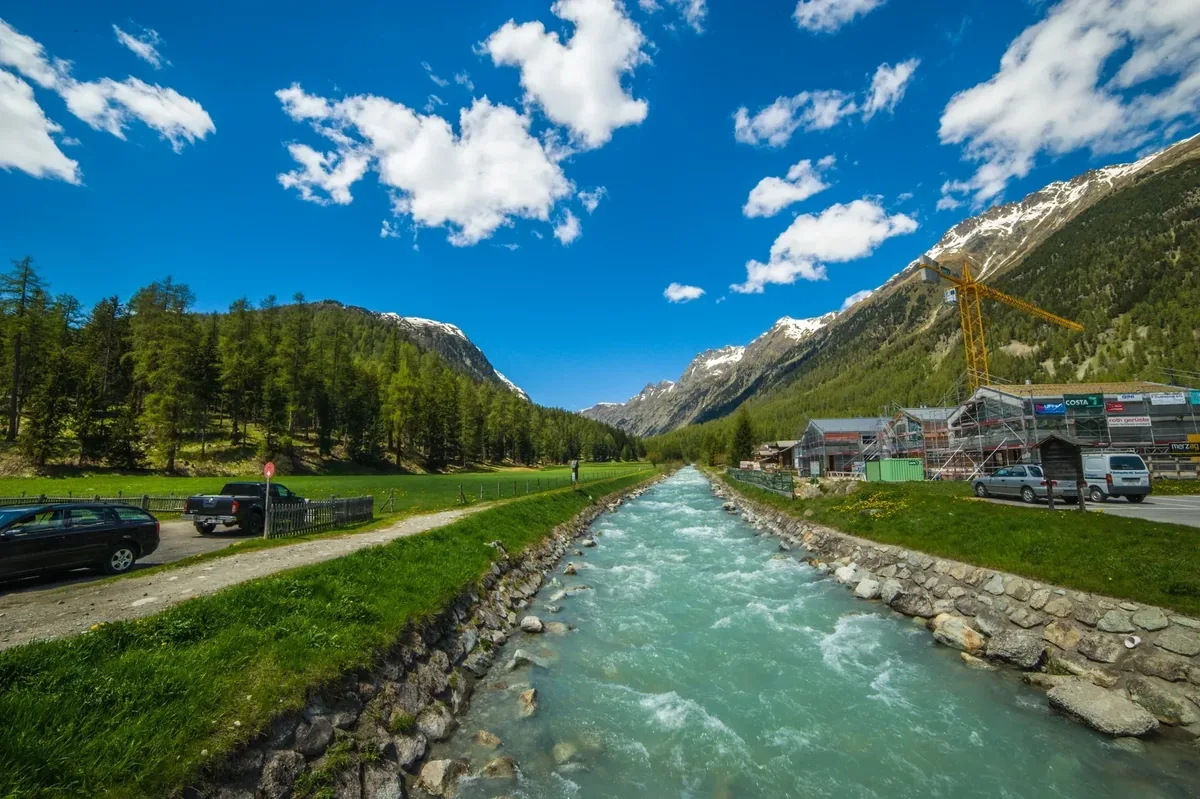
In total, 2.2 km of dam on the Inn and 150 m on the Beverin were removed. Today the riverbed is on average around 90 m wide instead of 15 m, and in the first stage up to 200 m in places. The dams could only be removed between September and November, outside the flood season. The federal government and the canton paid most of the cost, together with Pro Natura, the Swiss Landscape Fund, ewz’s naturemade star fund and the Ernst Göhner Foundation. Incidentally, the mayor, Fadri Guidon, gave up around 100 m² of his own land – today it lies in the middle of the river.
The river does what it wants
That was exactly the intention, and the Inn took it literally. In the very first summer after the first stage, it tore a gap in an earth embankment. In September 2015 it broke through in a big way and created a new side channel for itself. In June 2019 a flood filled the new bed of the second stage for the first time, and the flood at the end of August 2020 reshaped the landscape once again. The municipality speaks of a “landscape that is never finished”. In September 2020 the area was opened to visitors.
Who lives here
Today the Inn floodplains are one of the most important habitats for birds that breed on open gravel banks:
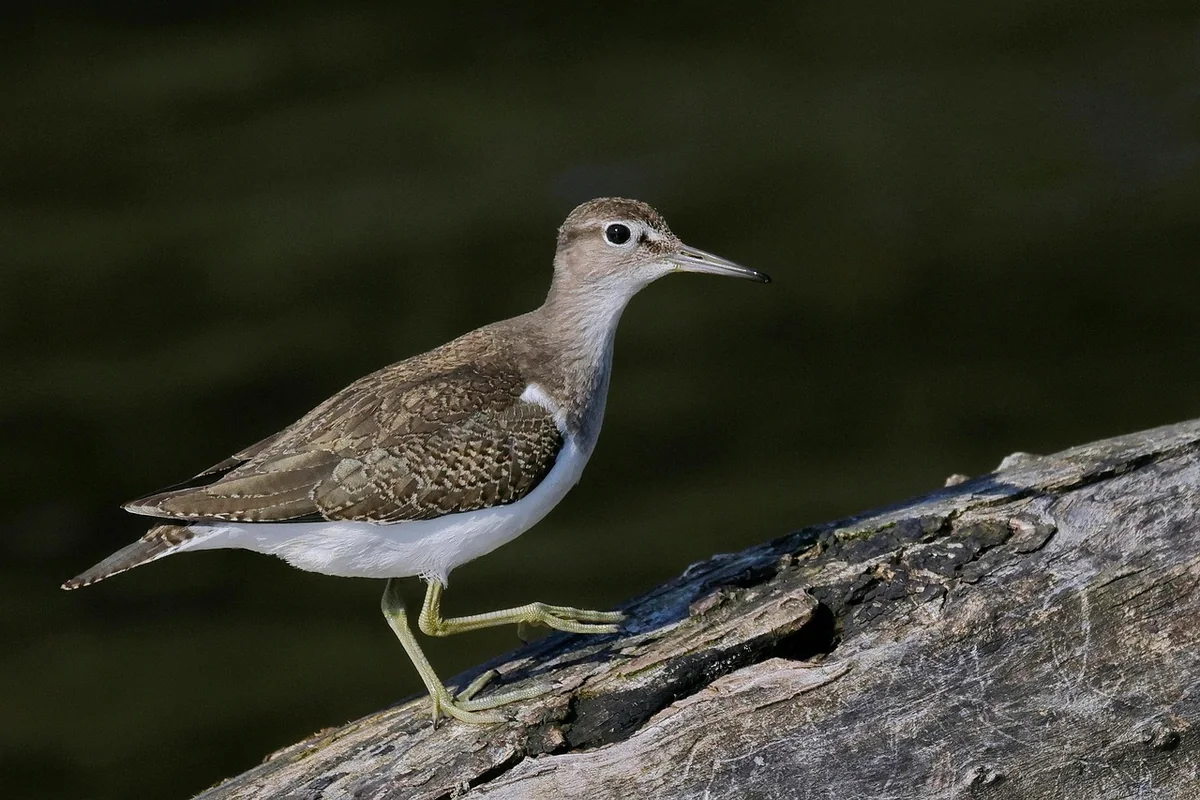
- Common sandpiper: there are only around 100 pairs in the whole of Switzerland, the species is considered highly endangered – and around a fifth of the Swiss population lives on the Inn. Before the second stage, one to two pairs bred on this stretch; afterwards ten, again in 2022 and 2023. In summer 2017 young birds fledged above the Isellas bridge for the first time in a long while.
- Little ringed plover: at least two breeding pairs. It builds no nest but lays its eggs between the stones – which is why it is so important not to walk on the gravel banks in spring.
- White-throated dipper: easy to watch as it dives into the water from the bank.
- Beavers have settled here; between Samedan and Bever, wire mesh protects the trees. Several pairs of otters also live along the river.
- Fish: the grayling is a target species of the river restoration; it needs water that does not get warmer than 15 °C. There is also the brown trout. Fish passes connect the new inland waters with the Inn.
- Adder: the only snake in the Upper Engadine lived in the cracks of the old dams. It was relocated and given new piles of stones.
The Swiss Ornithological Institute in Sempach has been monitoring the area since 2008. In 2022 it counted 13,500 visitors over four summer months – an average of 100 a day, and over 200 on fine holiday days. More than 95 % stayed on the paths.
Circular walks through the floodplains
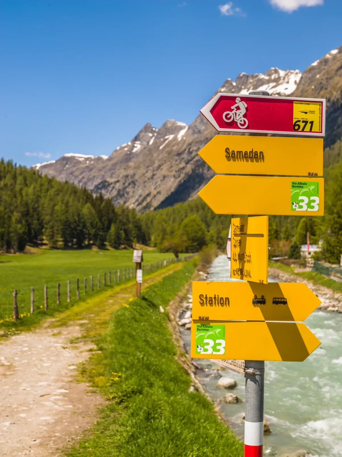
- Gravatscha–Inn floodplains circular walk: around 3 km, about 45 minutes, practically flat, suitable for pushchairs. Start and finish at the Isellas car park, where an information board explains the project; there are barbecue spots along the way. Route: Isellas – Lej Gravatscha – Camping Gravatscha – Isellas.
- Digital circular route from Bever station: 7.2 km, around two hours. You scan a QR code in the display case at the station, and your phone guides you through the floodplains by GPS. Binoculars are worth bringing.
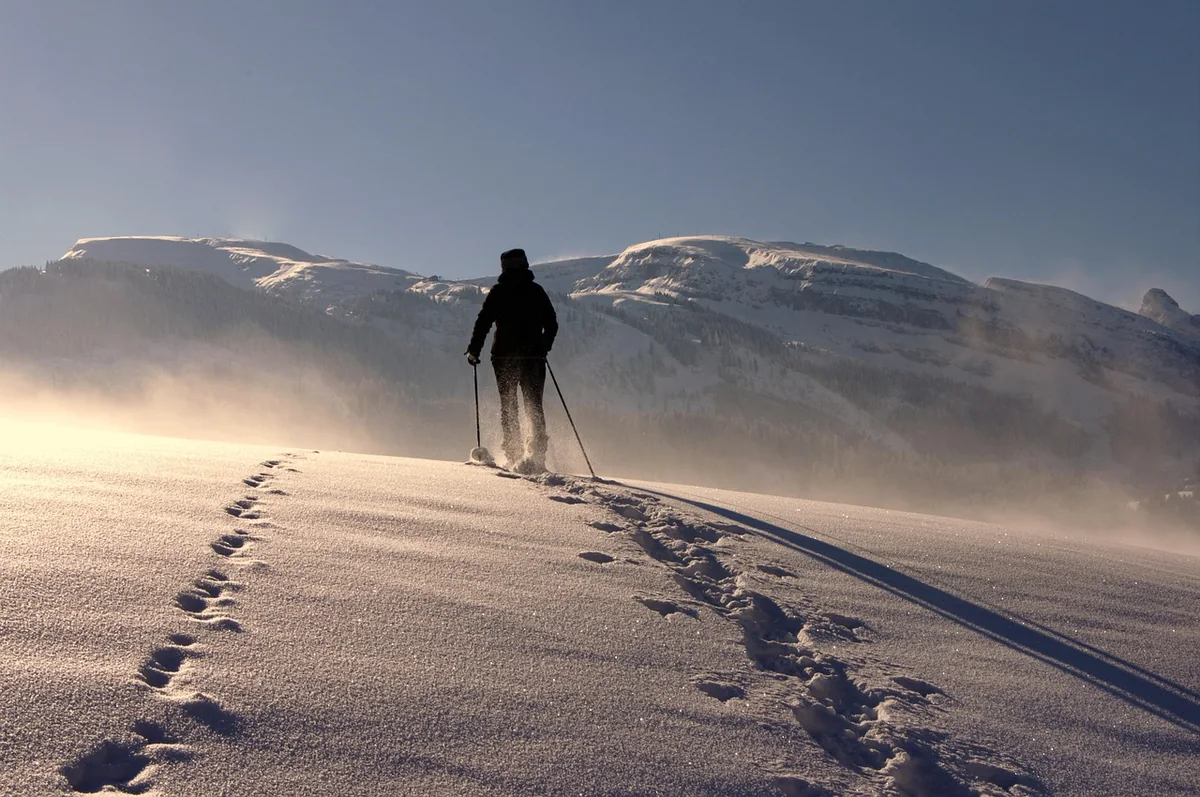
- In winter a cross-country ski trail runs from the Promulins Arena in Samedan via Gravatscha and the Inn floodplains to Bever (7.6 km). More about the trails in the article Cross-country paradise on your doorstep: Val Bever.
Guided tours: In summer the municipality usually offers free guided tours of the floodplains (around an hour and a half, no registration required). You will find the dates at the Bever tourist information office and in the Engadin Tourism events calendar. For school classes, an explorer’s backpack is available from the Tourist Information Bever.
How to behave during the breeding season
From mid-April to the end of July the gravel-nesting birds are breeding. For this period the Swiss Ornithological Institute recommends staying on the dam paths and keeping dogs on a lead; also look out for the signs on site. A single walk across a gravel bank can destroy a clutch of eggs that you cannot even see among the stones. If you look through binoculars from the dam, you see more – and disturb nothing.
The Beverin: a river gem on your doorstep
In the village, the Beverin flows into the Inn. It comes from Val Bever and on 25 June 2021 became the very first body of water to be awarded the “Gewässerperle PLUS” label – 13.5 km of largely unspoilt mountain stream. The winter hiking trail to Spinas also runs along the Beverin; more about it in the article Winter hiking and snowshoeing from Bever.
What comes next
A third stage is planned between Bever and La Punt – around CHF 52 million, combined with a bypass and the relocation of the railway line. Once all the projects are complete, around 17 km of river in the Upper Engadine are to be restored. And even today, the floodplain at Bever is one of the places where you can see what a river does when you let it.
More inspiration in the Journal – or view the holiday apartments and check availability.