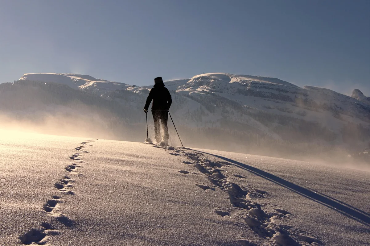
Winter walking from Bever
- From the front door
- Val Bever to Spinas, around 4 km, a good hour
- Place to stop
- Gasthaus Spinas, open in winter
- Snowshoeing
- around a dozen signposted trails in the Upper Engadin
- Wildlife rest area
- Val Bever 20 December – 30 April: marked trails only
- Avalanche bulletin
- slf.ch, daily at 17:00
Winter isn’t just for skiers
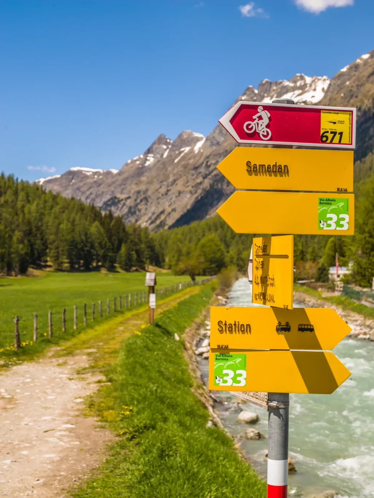
In the Engadin, the paths in winter aren’t simply buried in snow – they are looked after. Machines groom winter walking trails through forests, across high plateaus and along the lakes, and pink signposts show the way. The region’s route data lists more than 120 sections of winter walking trail and around a dozen signposted snowshoe trails. You need neither a ski pass nor practice – just warm boots and a little time.
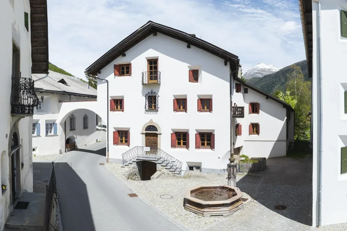
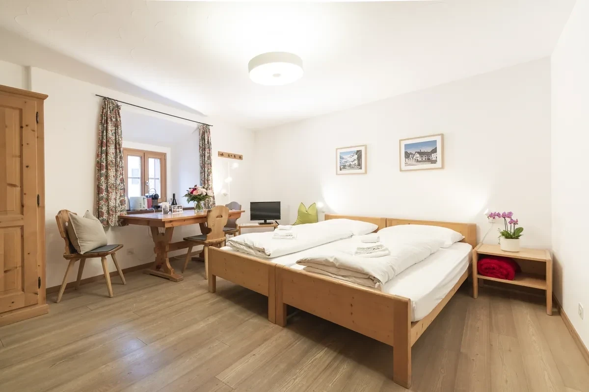
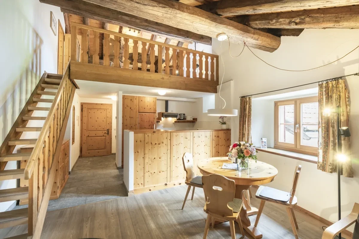
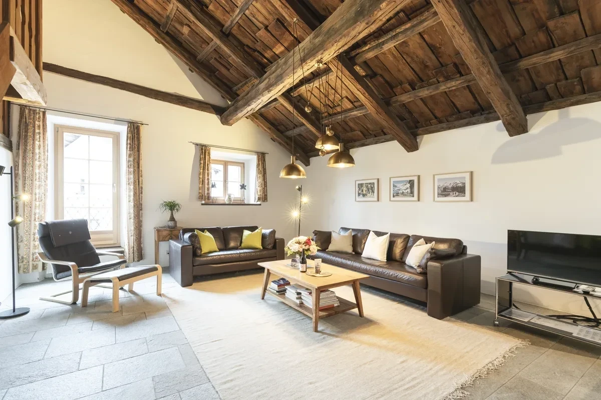
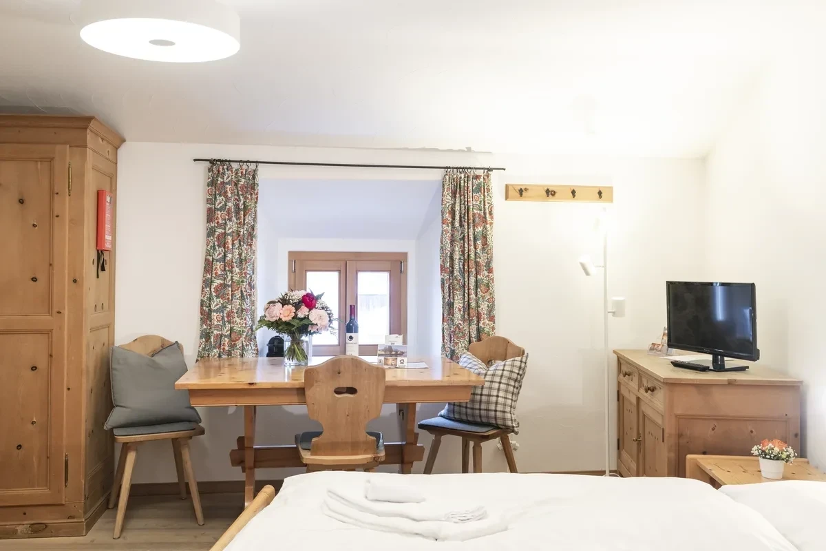
Bever is a particularly good starting point. The village lies flat on the valley floor, the station is a few minutes’ walk from Chesa Michel, and Val Bever begins right behind the last houses.
From the front door: Val Bever to Spinas
The classic on our doorstep leads from Bever station along the Beverin into Val Bever as far as the hamlet of Spinas. The route is around 4 km long, takes a good hour and climbs only about 125 metres – from 1710 to just over 1800 m. It is laid out as a winter walking trail from November to April.
The Beverin is rather special, by the way: in 2021 it became the first river in Switzerland to receive the ‘Gewässerperle PLUS’ label – a 13.5 km mountain stream that is largely unspoilt. In winter you can hear it gurgling beneath the ice.
In Spinas, Gasthaus Spinas awaits, open in winter (current times: Gasthaus Spinas). If you’d rather not walk back, take the Rhaetian Railway from Spinas station back to Bever. And if you don’t want to walk at all: in recent winters a horse-drawn omnibus has also run from Bever station to Spinas and back. Whether, when and at what price it runs, you can find out locally or from Engadin Tourismus.
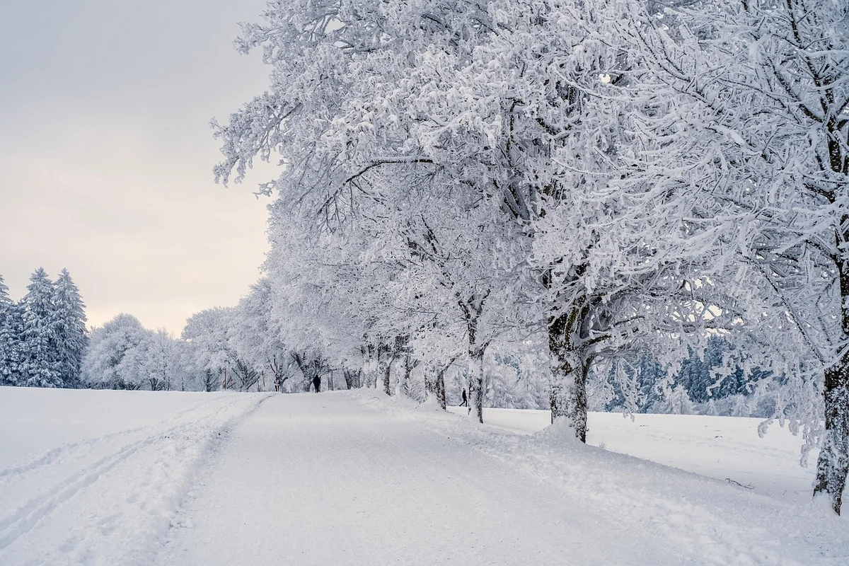
Flat along the Inn: paths to Samedan and La Punt
If you like to take it easy or are out with small children, stay in the valley:
- Bever–La Punt on the Inn riverside path: 4.3 km, practically no climbing.
- Samedan–Bever on the Inn embankment: 5.2 km, or along the railway line: 3.5 km.
- Circular route Samedan–Bever–Samedan: 6.8 km, just under two hours, barely any ascent.
- Alp Muntatsch above Samedan: 6.4 km, a good two hours, 415 metres of ascent – the sportier option with wide views, groomed once a week from November to March.
These paths are ideal for an afternoon when you want to stretch your legs after lunch. In December the sun sinks low early – plan to head back before 16:00.
The classics in the region
| Route | Distance / time | Getting there from Bever |
|---|---|---|
| Philosophers’ Path, Muottas Muragl | 2.4 km, 45 min | Train to Punt Muragl, then funicular |
| Muottas Muragl, red circular route | 4.9 km, 1½ hrs | as above |
| Muottas Muragl, black circular route | 6.4 km, 2 hrs | as above |
| Punt Muragl – Lake Staz | 1.7 km | Train to Punt Muragl, around 10 min |
| Lake Staz – Pontresina | 5.2 km | back by train from Pontresina |
| Pontresina – Val Roseg (Hotel Roseggletscher) | around 7 km, 1¾ hrs, 230 metres of ascent | Train to Pontresina, around 15 min |
| Sils Maria – Val Fex (Hotel Fex) | 4.9 km | Bus to Sils, around 45 min |
| Diavolezza – Sass Queder | 1.5 km, 40 min, up to 3064 m | Train to Bernina Diavolezza, then cable car |
Muottas Muragl is the favourite for a first winter day: the funicular also runs in the evening (operating times: Engadin St. Moritz Mountains), the Philosophers’ Path is short and full of views, and from the top you can see across the whole chain of lakes. Val Roseg is longer, but flat enough for almost everyone; at the end stands the Hotel Roseggletscher, open in winter, with its well-known cake buffet, and horse-drawn carriages take you back. High up on the mountain, the path to Sass Queder on the Diavolezza is only cleared with shovels – good mountain boots are a must there.
If you’d rather glide than walk: between Madulain and Zuoz there is a 3 km ice trail for skating.
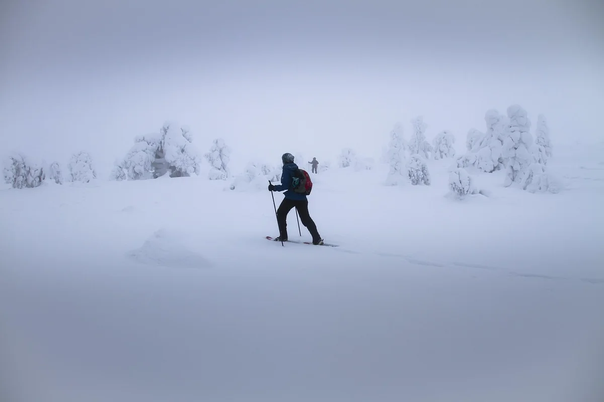
Snowshoe trails: marked and doable without a guide
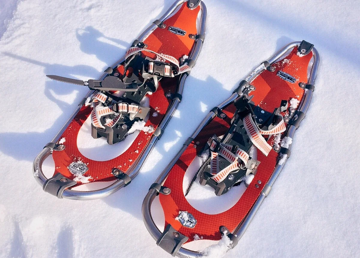
Signposted snowshoe trails are marked in pink, secured and designed for beginners. You can hire snowshoes from sports shops in Samedan, one stop from Bever.
| Trail | Distance | Time / ascent |
|---|---|---|
| Muottas Muragl (from the top station) | 3.1 km | 1½ hrs, +145 m |
| Morteratsch (from the station) | 2.8 km | 1½ hrs, +120 m |
| Plauns, Pontresina–Morteratsch | 4.3 km | 1 hr, +95 m |
| Zuoz, Pizzet – Alp Es-cha Dadour | 2.4 km | 65 min, +211 m |
| Sils, Muotta da Güvè | 5.1 km | 2½ hrs, +304 m |
| Corvatsch Lake Trail (Furtschellas) | 3.9 km | 2 hrs, +217 m |
| Alp Bondo (Bernina Diavolezza) | 4.6 km | 2 hrs, +154 m |
| Maloja – Cavloc – Plan Canin | 8.3 km | over 3 hrs, +284 m |
There is no signposted snowshoe trail in Val Bever itself – and for good reason (see below). For a special evening, a guided full-moon snowshoe tour on Muottas Muragl is well worth it: in the evening, around an hour and a half, snowshoes included, offered from January to March. Dates are listed in the events calendar.
Wildlife rest areas: why you stay on the path in Val Bever
In winter, red deer, chamois and ibex live off their reserves. Every flight through deep snow costs them energy they won’t get back before spring. That’s why there are wildlife rest areas – and around Bever there are several:
- Val Bever (wildlife rest area no. 73) and Gravatscha–Müsellas (no. 33): from 20 December to 30 April, no access away from the signposted trails and cross-country tracks.
- Muntatsch/Clavadatsch and Muottas/Val Champagna/Tschainas: during the same period, only on the marked routes.
For you, that simply means: on the marked winter walking trails and cross-country tracks, you’re in the right place. You’ll find the current map at wildruhezonen.ch. Dogs should be kept on a lead on winter paths; between Samedan and Bever there is also a dedicated 4.1 km dog trail.
You’ll still see ibex: in Pontresina there was most recently a free observation point with a telescope on the Crast’ Ota sun terrace, from which you can spot the animals on the south-facing slopes in winter.
Staying safe: cold, light and avalanches
- Cold: The Upper Engadin is one of the coldest inhabited areas of Switzerland; in January 2021, −26.9 °C was measured at Samedan airfield. Several thin layers, a hat and a spare pair of gloves belong in every rucksack.
- Sun: At altitude the winter sun is strong, and the snow reflects it. Wear sunglasses and sun cream even when it’s cold.
- Ice: On compacted paths, slip-on spikes for your boots help.
- Avalanches: Winter walking trails and snowshoe trails are secured. If you leave them, you must read the SLF avalanche bulletin (daily at 17:00 on slf.ch and in the ‘White Risk’ app) and know how to use the equipment. Snowshoe tours away from the trails are best done with a mountain guide.
- Time: In December the sun sets at 16:30, and even earlier behind the mountains.
After your walk
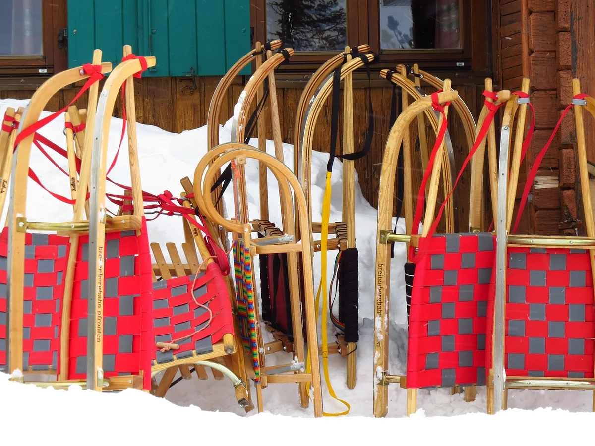
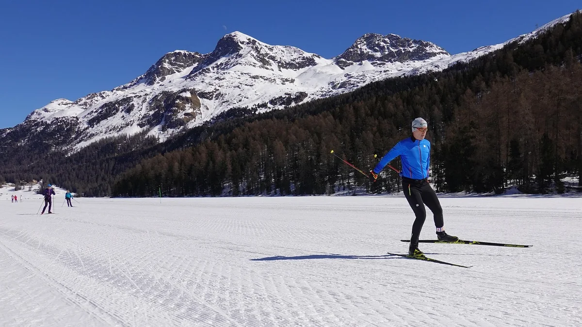
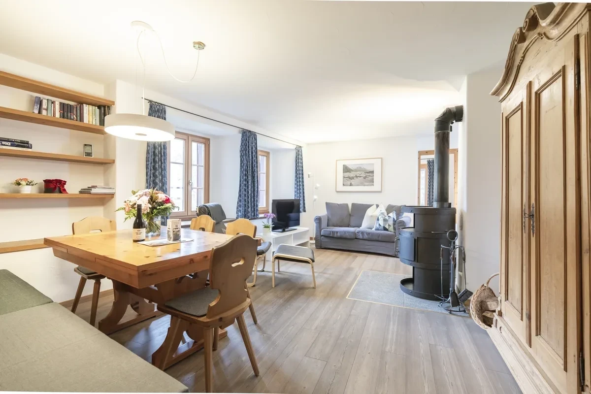
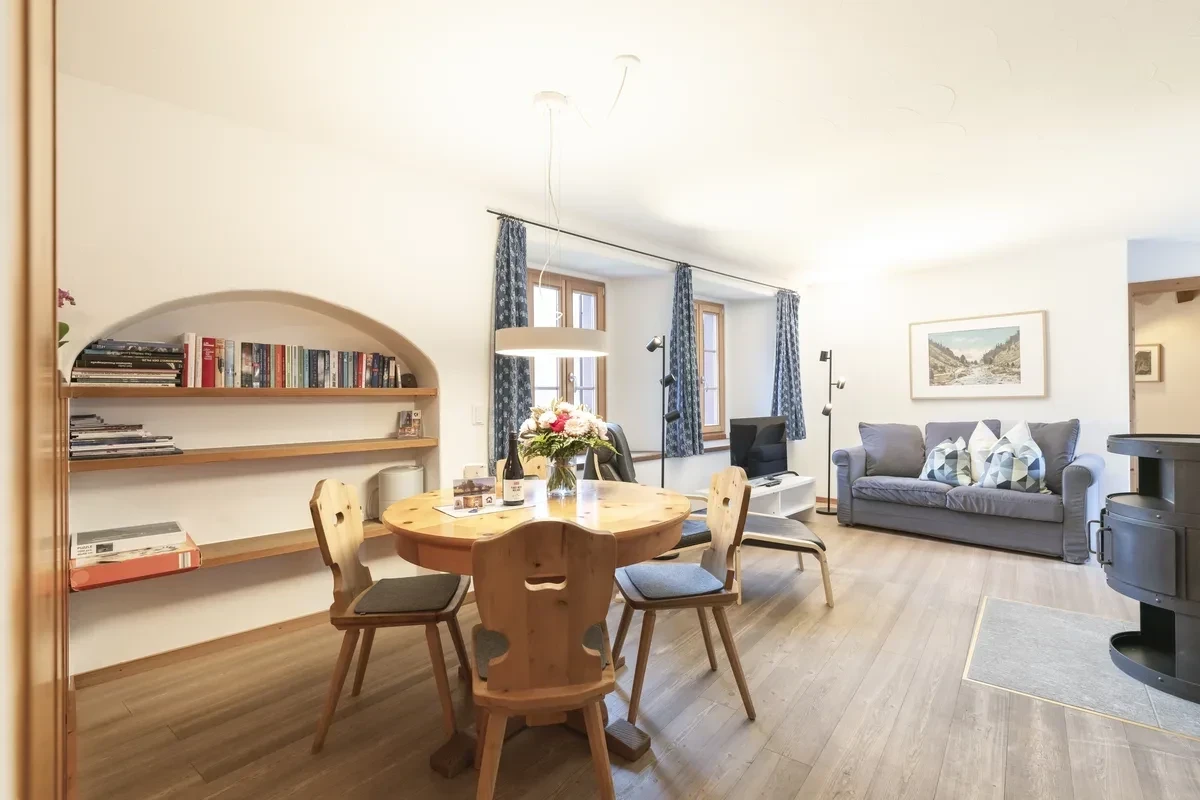
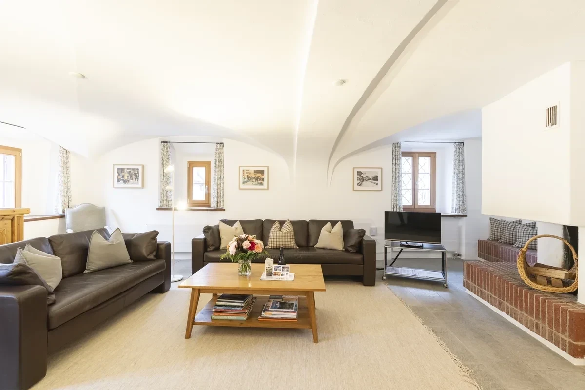
Back in Bever, boots and jackets dry in the ski room at Chesa Michel, wood from the cellar burns in the Swedish stove or the fireplace, and a fondue awaits in the kitchen. If you’d rather be on runners, the post Sledging Preda–Bergün covers the region’s sledge runs – including the short Crasta Mora run just above Bever. And for cross-country skiers, the track also starts right outside the door: A cross-country paradise on your doorstep: Val Bever.
More inspiration in the Journal – or view the holiday apartments and check availability.